Sunday, October 29, 2023

Visiting Historic Camp Rucker, Cochise County, Arizona


Nestled in one of the most idyllic of locations - the Chiricahua Mountains of Cochise County - are the quiet ruins of one of the lesser-known Cavalry camps of Arizona Territory. It is a ghost fort of many names: Formally known as Camp John A. Rucker, and sometimes referred to as Fort Rucker, the site was originally known as Camp Supply (as were several other Cavalry camps) before being renamed Camp Powers. At first Camp Supply stood near a tributary of the White River, but it was relocated closer to the White River headwaters near the South Fork branch of the river. The original location was established on April 29, 1878, but by the time it was moved to the South Fork site, a double tragedy had occurred. A much-loved and respected officer, Lt. John A. Rucker, had drowned while attempting in vain to save his friend and fellow officer, Lt. Austin Henely, who'd been caught in the floodwaters of one of the desert's fierce summer monsoons on July 11, 1878. Both men had been West Point attendees, although only Henely had graduated from the academy. In honor of Rucker and the affection his men had for him, the camp was renamed in his honor, as was Rucker Canyon and the oft-dry Rucker Lake. 

Lt. John A. Rucker of the 12th Infantry

The little camp is, today, a serene gem far less known or trodden than Fort Bowie, its counterpart on the northern end of the Chiricahuas. Located near quiet campgrounds, it is accessed by taking E. Rucker Canyon Road east from US Highway 191 north of Elfrida. As you pass Devil's Canyon, you'll soon hit a fork in the road: Camp Rucker  Campgrounds are off the branch to the left, and the branch to the right is marked "N. Tex Canyon Road." That's the road that actually brings you to Camp Rucker itself. 


You'll likely be greeted by the local church ladies: fat Angus cows pastured adjacent to the ruins of the camp, watchful for ranchers bringing cake. Forge onward and you'll find the cavernous barn from the site's days as Old Camp Rucker Ranch, after it had been repurposed by area ranchers. (I will add a separate blog entry dealing solely with the camp's second life as a ranch, as it well deserves its own more-detailed treatment.)

Old Camp Rucker Ranch Barn

Surrounding the barn are oak trees, pine, and the stunning backdrop of the Chiricahua cliffs and outcroppings. This time of year - late October - the colors have just begun to turn. 


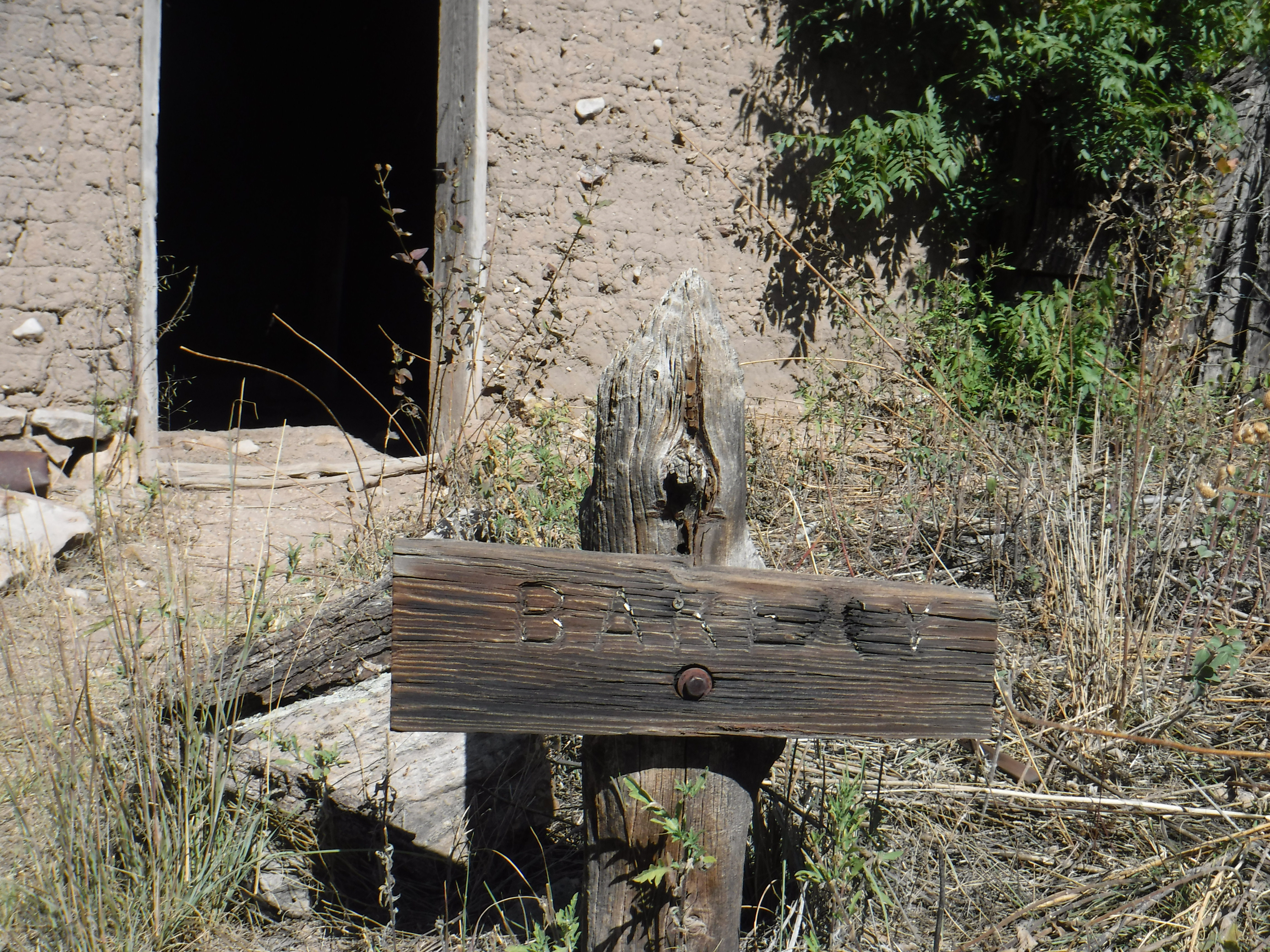
Beyond the barn is a surprisingly-well preserved adobe structure shaded by oak trees. The roof is new to preserve the building, but the walls are the original adobe. This was the Officers Quarters, likely built in the 1880s. 


The Officers Quarters


Unlike so many of Arizona's historic sites, the buildings at Camp Rucker are accessible: You can walk inside and admire the dappling of the sunlight through the porous rooftops, and sense the scale and feel of them. Inside the Officers Quarters is a surprisingly decorated ceiling, painted by one of the ranch wives after a marital occupation replaced the martial occupation.

Arizona Sistine: The Painted Ceilings of the One-Time Officers Quarters


Beyond the Officers Quarters, to the northwest, stands another well-preserved adobe. Adobe, formed of mud amended with straw and other organic matter, is susceptible to the ravages of wind and rain unless coated with a protective stucco surface. The adobe buildings at Camp Rucker remain uncoated, which offers a good opportunity to see the native material - but will ultimately result in their return to the soil from whence they were created. This adobe building was the camp bakery. 

Camp Rucker Bakery

Inside the bakery is the outline of the oven, a ghost hearth of sorts, reminiscent of the large medieval hearths that both warmed homes and provided cook space. 


Outline of the oven at the Camp Rucker Bakery


The roof and ceiling of the bakery have not been replaced with steel, and still feature the original wood shake shingles; the sunlight (and, on less perfect days, the rain) comes in easily. The sunlight today dropped like so many stars on the walls and floor in a dazzling feat of natural beauty. 


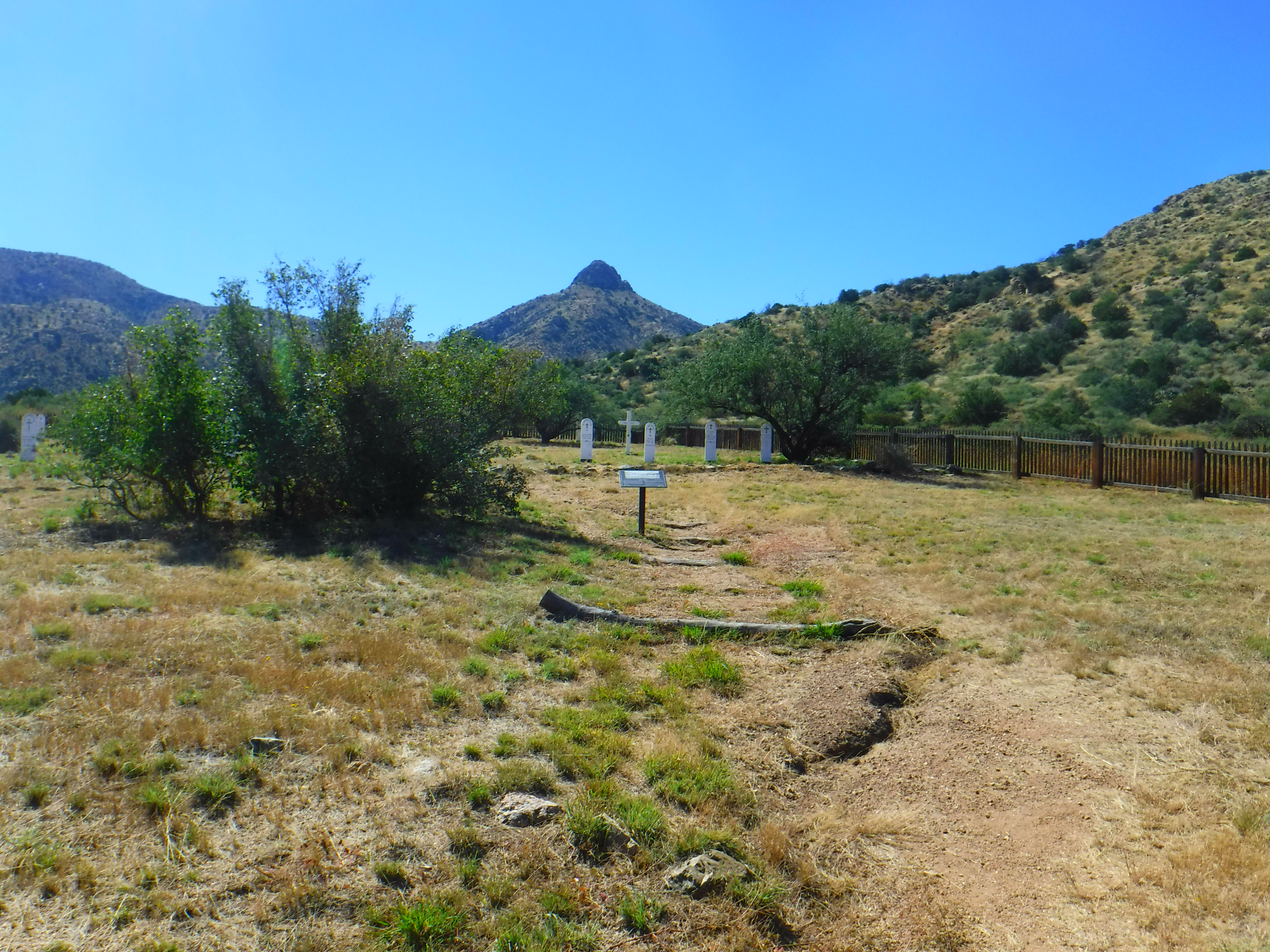
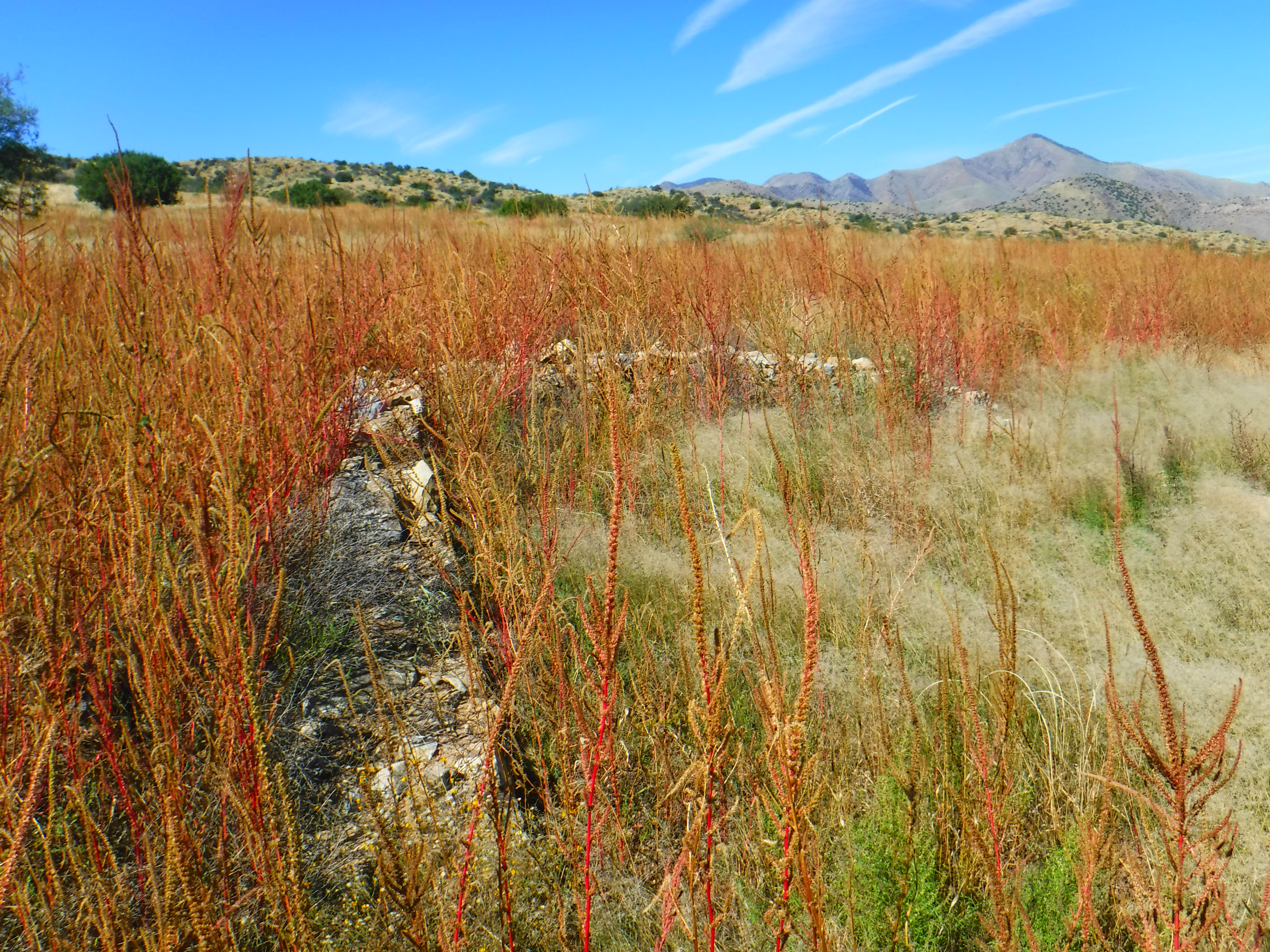
Yards from the bakery are the haunting remains of the original Commissary. The foundation and one corner of the walls are all that remain, a mournful footprint, since the building burned in 1921. 


The final building you will find at the old camp / ranch site is the ranch house of those who followed the military - the Hampes, the Raks, and Mrs. Dana - and despite the toll the years and elements have taken, you can still imagine the cozy loveliness of it. Again, I'll go into the ranch owners separately, but include a couple of photos here in keeping with the "as it stands" theme.


Again, we're fortunate to be able to walk through these doors, just as the ranchers did, and see the view through the windows they once looked from. The ranch house was reinforced by the adobe bricks salvaged from the ruins of the Commissary, used to fortify the occupants from the cold winters in the mountains.

 Although it is a weekend, we encountered only one other group of visitors during our time at Rucker today; a family on foot from the nearby campgrounds. Even the children toted rifles; it is hunting season, after all.

Never tiring of the vast vistas as you drop down from the mountains, we opted to leave via Tex Canyon Road east to US Highway 80, a sixteen-mile trek on dirt roads. Despite the warning about risking tire damage posted as we embarked, the road was easily passable - rough in spots with loose rocks, but otherwise in fine shape. I'm not sure I'd want to take it during a monsoon, but other than the knuckleheads who set camp ON the road itself, it was an easy route that brought us onto the road to either Douglas or Apache. Below are photos of selected parts of Tex Canyon Road as you enter the San Simon Valley and back onto paved roads.


If you go: Take water and weather-appropriate clothing, including a jacket, in case of emergency. There are no facilities at Camp Rucker or along the road to Hwy 80, and you will not have reliable cell phone service or Onstar. There is, however, a ranger station and campground on Rucker Canyon Road north and west of Camp Rucker historic site; to access it, backtrack along Tex Canyon Road and proceed north. 

Copyright (c) 2023 Marcy J. Miller * All rights reserved * No part of this content, including photographs, may be shared without the express written permission of the author * Sharing the links to this page, however, would be greatly appreciated * Thank you for stopping by!

Thursday, August 24, 2023

Lunch Trip to Patagonia's Velvet Elvis


Pizza, that most essential token of affection from the oft-hostile universe, is hard to come by in my area. Good pizza, that is. The soulless chain outlets provide what can only be described as Bowling Alley Pizza; the pre-made offerings at local saloons and cafes are dismal offerings that, should they be offered in sacrifice to the Pagan Pizza Gods, would only result in the vengeful end of humankind. The occasional standout offers good pizza, but without much charm. But drive out a bit further, past the vineyards of Sonoita and Elgin, and to the perfectly adorable hamlet of Patagonia, and you will find truly great pizza and ambience to match.


Housed in its new location in a restored 1915 saloon called the Big Steer, Velvet Elvis has larger quarters now made to resemble a peaceful mission. These adobe walls were once crumbling, but have, Phoenix-like, risen from the dust. Within, the restaurant pays homage to art, the triumph of good over evil, South American culture, Frida Kahlo, the archangel Michael, snakes, jaguars, and tropical plants - and it all blends seamlessly into a serene and joyful place to grab tapas, a margarita, or ... most importantly ... damned fine pizza.

A portion of the mural depicting a South American Eden, complete with snake, and a chieftain I assume to be Moctezuma. Other parts of the mural, which graces the barroom, include jaguars, toucans, and the Tree of Life.


While enjoying your meal, absorb the good-over-evil icons: Archangel Michael slaying a goblin; an armored Archangel Michael carved of wood in larger-than-life scale, wielding a staff of vengeance; cherubs and Marian images gracing the walls; the mission-like vaulted ceiling; candles of offering; and an elaborately-painted vast snake that coils at the ceiling-wall juncture around the entirety of the dining room. 

Study of the carved Archangel Michael.


And there are other heroes, prominently displayed, as well: Frida Kahlo appears repeatedly, alongside butterflies or small tropical monkeys. Above the gorgeous wood-grain of the bar back hang paintings of Sugar Ray Leonard and John Wayne to each side and, front and center, the restaurant's namesake: a Velvet Elvis. As a child, visiting Nogales just across the border, I remember entire shops devoted to velvet paintings: Mustangs running out of the very fabric; dogs playing poker; Marilyn Monroe; and .... of course, Elvis.


But back to the pizza. The menu offers a variety of "Designer Pizzas," with sumptuous southwestern-influenced ingredients from cilantro to jalapeƱos. For the gluten-avoidant, the smaller pizzas can be made with almond flour. To satisfy my months-long craving, though, I needed a classic: a large mushroom pepperoni. It was exactly as pizza should be: a crust doughy and fresh, tomato sauce where you can taste the sweetness of the tomatoes themselves, and a wonderfully gooey cheese, applied liberally. It was the answer to my lengthy search, covering literally hundreds of miles across southeastern Arizona, and truly the stuff of pizza dreams.


Filling myself on outstanding pizza, watched over by blue-lit cherubs and the Virgin Mary, and partaking in excellent conversation with a friend too-seldom seen, made for the perfect afternoon.


A few doors down we stopped in at the Patagonia Trading Post, a shop filled with treasures crafted by local and international artisans and books of local interest and - best of all! - a shop cat named Oreo. 


Oreo's favorite hiding places - Saguaro-shaped cat beds; cat baskets; other fluffy nooks - fit in almost indiscernibly on the shelves filled with candles, artwork, hand-felted toys, and objets d'art too vast and variable to recall. Here, a rack of native plant seeds, beautifully packaged; feet away, a comfy cat bed. 


Oreo, shop cat, on the job.

Armed with books and (amazingly) resisting the temptation of so many other goodies, my friend and I moved on. As we'd driven to Patagonia, another place called out to me: The Meading Room outside of Sonoita. Vineyards and wine-tasting outlets grace the serene foothills throughout the area, but mead? My familiarity and attraction to mead has largely been a literary and historical one; from meads mentioned in Chaucer to the meads of Medieval history, I'm aware of their lengthy place in the world of fermented spirits, but I've never tasted the stuff. Unlike wine, which relies on fermented grapes, mead is a fermented honey beverage. 


The Meading Room is a play on words for the mead hand-crafted onsite as well as the corner of the mead room lined with bookshelves and featuring cozy chairs where a weary traveler can take a break, sip a cider or a mead, and read until restored - or meet (mead!) with friends. The mead room also offers shelves of tasteful artsy gifts and souvenirs, from T-shirts and watercolor dots to, well, mead. 


I tasted three varieties of the many offerings at the Meading Room; first, a lavender and pear offering; next, a ginger bubbling variety called Ziggy's; and finally, a new offering that isn't yet bottled (waiting on labels to be printed) but is available behind the bar. The lavender used in the products at the Meading Room is grown on-site, along with other herbs in an immaculate, picture-perfect garden outside the building. As a sucker for anything ginger, though, I left with a bottle of Ziggy's. 


Note the alcohol content on the label: 8.5%. Mead is notable for its high ABV. The stronger the honey flavor in standard ("sack") meads, the higher the alcohol content. There are lower-ABV meads and "seltzer" meads, but if I'm going to go for the closet thing to original, I'm going to go for the standard. It'll be the perfect accompaniment for revisiting Beowulf and the Canterbury Tales. 

On the rolling hills behind the Meading Room, antelope watched us come and go. 


Antelope sentinels under storm clouds behind The Meading Room.


Pizza, mead, antelope, local art, visiting locally-owned places that are clearly passion projects, and driving historically-rich and visually-stunning roads ... no better way to spend an afternoon. If you go, here are some helpful links:

Velvet Elvis: https://www.velvetelvislamision.com/

The Meading Room: https://www.themeadingroom.com/

Enjoy your visit (and the cooler climate than Tucson or Phoenix!) and don't forget to give scritches to Oreo!


Copyright (c) 2023 Marcy J. Miller * All rights reserved * No part of this content, including photographs, may be used without the express permission of the author * Links, however, may be freely shared and are greatly appreciated * Thank you for stopping by!


Sunday, August 6, 2023

Journey to Rucker Lake

 It's too hot to ride, too hot to drive T-posts - so what better day for a refreshing trip to Rucker Lake, just over an hour's drive away? 


So, after a leisurely breakfast at Sandy's Cafe in Sunizona, we turned onto Rucker Canyon Road at the Border Patrol checkpoint and headed east. We'd already passed the orchards, the grain bins, the fields of towering corn north of Elfrida. 


Once we hit Rucker Canyon Road, the landscape began to shift back to rolling hills as we climbed out of the valley. Although we're full-on monsoon season right now, it's been a disappointing "Nonsoon" so far, and it's a parched land - but we hit water in a few creek crossings. 


Tree-lined verdant dirt roads shaded us, but the creek bed beneath this cool wooden bridge was dry. 


As we neared the canyon, the rock formations in this once-home of the Chiricahua Apache people began to resemble the famous spires of the Chiricahua Mountains. 


It was at Rucker Canyon on the White River that Lieutenant John "Tony" Rucker died on July 11, 1879 attempting to save his friend, Lieutenant Austin Henely, who was already in peril in the treacherous waters. Both men drowned; their bodies were recovered and returned to Fort Bowie, where they were interred (later to be moved back east). Camp Rucker, a temporary camp off of what is now Tex Canyon Road, was renamed to honor the popular Lt. Rucker, as is the canyon itself. 

The waters didn't rage today, though. The river bed was barely damp enough to breed mosquitos. 


The air, though, was pure and invigorating, the breeze carrying the fragrance of the juniper that shared the land with Emory oak, an occasional birch, and piƱon. 


And then we were there: Rucker Lake! I was eager to slip my shoes off and wade into some cooling waters. It has been years since I've seen a lake. Desert people crave pools of water in ways normies might never understand. We parked at a pullout, not another soul to be seen ... and I hopped out of the car, camera in hand.


And there it is, in all its glory, in the two photos above: RUCKER LAKE! A small lake bed, surrounded by breathtaking views .... and utterly, devastatingly dry. Suffice it to say the fish were not biting. 

I feasted on the fragrant air, sipped from my bottle of ice water, and figured I'd just come back when we actually get some rain. The drive was beautiful. The scenery, exquisite. The area history, rich and tragic. And the lake ... a mirage. 


Above: Me, noticeably NOT dipping toes in lake water. 


If you go: Take Hwy 191 to Rucker Canyon Road (north of Elfrida); head east. Stay on the main road. The road dead-ends at a roadblock not far north of the lake bed, but there are hiking trails, camp sites (fees required), and plenty of parking pull-outs. Today is Sunday, and we saw one occupied campsite and one other vehicle near the canyon, so expect isolation and carry emergency water. The campgrounds feature bathroom facilities. During a normal monsoon season, expect arroyos and washes to run; don't cross flooded crossings. You wouldn't want a canyon to be named after you.


Copyright (c) 2023 MJ Miller * All rights reserved * No part of this content may be reproduced without the express permission of the author * Thank you for visiting and sharing links, though!


Thursday, November 3, 2022

I Hate Sierra Vista

A mountain view as seen from Fort Huachuca
(c) 2022 Marcy J. Miller


 I usually don't do this. I'm usually a relentless booster of Arizona's smaller cities and towns. I'm a veritable glitter bomb of positivity on most things Arizona. I'm of the "just walk/scroll/pass on by" camp if I see something I don't like. But ... let's have a courageous conversation about Sierra Vista. 

The name is lovely, I'll give it that. Sierra Vista! Mountain views! And those mountain views, of the nearby Huachuca Mountains, are stunning. To the south, you've got the Whetstone Mountains - also a feast for the eyes. But those Huachuca Mountains! When the clouds are low or the fog rolls in or the winter snows frost the peaks and slopes ... oh man, they're just gorgeous! Granted, I haven't visited too many military bases across the country but I can say that Fort Huachuca has amazing views and is a truly lovely base.

But the city of Sierra Vista ... No, no, nopety nope nope. My "thing" is exploring Arizona's historical sites and researching those who've been there before me. Certainly, Fort Huachuca - established as "Camp Huachuca" in 1877, and home to the famous Buffalo Soldiers - has no dearth of history. And visiting the base is a treat, with excellent museums, a historic parade ground, and many of the original buildings and barracks. But the city itself lacks any sort of historical appreciation or historical focus. Drive through the city and just try to identify any older sites, and sense my frustration. You'll find every sort of lower-end chain restaurant, and just about every chain retail outlet that you need, but don't look for charming older buildings. Drive through downtown, and - wait! That's another issue. 

A fine example of public art honoring area history at Fort Huachuca (on base). The surrounding city would benefit from more such works. (c) 2022 by Marcy J. Miller

Sierra Vista doesn't have a downtown. Literally. There's no charming center square. There's no municipal complex. There's no row of older buildings - no "old town" - you'll find in so many cities or small towns. No place to congregate with people you like, or to avoid those you don't. No pedestrian-heavy streets where you can window-shop while toting your pricey Starbucks confection, and no little downtown cafe where you can sit at a yellowed Formica counter and look out upon the street scene. No downtown, folks! None. It's funny how you don't miss a downtown until you realize there isn't one to be had. 

The lack of a downtown also entails a lack of walking points. For those who enjoy leisurely walks through town, Sierra Vista will make you rethink your pastimes. For the profoundly committed walkers, you'll  pass by an occasional street denizen and making your way around the occasional overladen shopping cart, but nothing like the gauntlet you'll run in the Portland or San Francisco urban hells. You'll have some lovely mountain views but the street views? Gah. The weather is usually terrific, but just try to find a streetscape to match it. No lovely, sculpted medians. No public art. No appealing landscapes. No tree-lined boulevards. No nicer neighborhoods. Just grungy, themeless byways. 

Themeless. That's Sierra Vista's theme, overall. The city isn't "tied together" by a unifying motif. It's a military town, and the "Purple Heart City" signs are a welcome sight, but that's about it. What a difference some bronze sculptures of military figures would make. (There are some outstanding bronze statues on the base, but I'm talking about the rest of the city.) Imagine a trio of bronze, life-size Buffalo Soldiers at the city's western edge, or a pair of early lawmen at the north-eastern gateway to the city. This is an area that could easily capitalize on some very real historical charm ... but nah. You get a crazy quilt of businesses and residential areas and a particularly off-putting street layout that prides itself on a plethora of "No U-Turn" signs, which are particularly frustrating since the street medians prevent you from making left turns. 

But that's not all! Sierra Vista is peopled with weirdness. Weird people offering sub-standard service in grungy businesses. For a real-time example of this weirdness and retail hell, try to pick up a prescription at the local Walgreen's. I kid you not. You'll want to stab yourself in the eye with a pencil while standing in the long, long, slow line. Or visit Denny's on a holiday when nothing else is open and you're desperate for a bite. There are bright spots, for sure: the Vietnamese restaurant, Peacock Restaurant on Fry - one of the very-rare independent businesses in town - which offers excellent fresh cuisine. (Cuisine is a word I rarely attach to Sierra Vista.) And of the many, many soulless chain restaurants there, I recommend the Native Grill and Wings, the Texas Roadhouse, or Panda Express. (Many of the businesses in town haven't figured out "If you can't be competent or pretty, you can still be friendly!") I absolutely adore the staff and facility at New Frontier Animal Medical Center (one of the few businesses that has a lovely landscaped front and a grassy expanse). Top-notch customer service, outstanding veterinary care, and pleasant surroundings (because of course, its founder is Dr. Prevatt - who also co-founded the once-amazing Animal Health Services in Cave Creek). 

One of the best feed stores I've frequented is on the outskirts of Sierra Vista, as well. Jem's Feed on Moson Road is fantastic. And Sierra Vista also boasts a Tractor Supply outlet and the queen-mother of rural chain stores - CAL-Ranch. There's something to be said for the convenience and predictability of having chain stores in your town - but they'll never have the special nature of independent, locally-owned businesses. Sure, there's a Home Depot, and I'm thankful it's there; and an Ace, but they can't compete with the customer service you'll find up the road at Redding's Hardware and Goods in Tombstone, where the owner will not only help you find what you need, but tell you "if you have an emergency in the middle of the night, call me and I'll meet you here!" The Ace in Sierra Vista, by the way, is appropriately near the ax-throwing place, which is perfect because if any place is going to make me want to throw an edged weapon, it's Sierra Vista.

Sadly, Sierra Vista features many, many vacant and even boarded-up businesses on its main streets, from the Golden Corral to a good number of non-chain retail sites. It's neither vibrant economically nor nostalgic in its decline. People struggle here, as they do in just about all of the border region of Arizona, but you don't have the "we're in this together" attitude you get in Elfrida, St. David, or Willcox, and you don't get the "we love that you're spending tourist dollars here" welcome that you find in Tombstone, Patagonia, or Bisbee. There's more of a sense of desolation.  

Here's a rabid generalization: The people of Sierra Vista aren't, well, very pleasant. They aren't well-groomed, they aren't well-mannered, and they aren't going to go out of their way for you. From the woman  opening the bags of grapes, fondling them, and popping a meal's worth into her mouth while "shopping," to the grumpy-ass pharmacist at Walgreen's, you're not going to find a lot of customer service gems.  It makes it all the more exceptional when the teenage boy at the fast-food drive through stops while handing me my order, makes eye contact, and says, "Thank you for being nice." It's one thing to survive being a customer in Sierra Vista, but damn, it's got to be tough being part of the workforce in that population. I love the young man at CAL-Ranch who told me, "God bless you," after I thanked him for helping me out; what a difference a gesture like that makes. There are nuggets of gold in that leaden morass of a city, and I hope people treat them kindly. Little, humble Benson, my other grocery alternative, is the opposite. It's not an affluent area. There's no huge tax base. But the people are kind, helpful, pleasant. The restaurants in town are generally independently-owned, and the owners take pride in their establishments. It's not a fancy area, but it's always a pleasure visiting there. And they cherish their rich history and their community.

Oh, Sierra Vista. I so wanted to love you. I didn't expect to see the hollow faces of meth addicts in your gritty grocery stores. I was surprised to find that a community of military families and retired folks has turned Sunday shopping into a combat sport at the Fry's. I remain shocked that there's little visible historical appreciation of your amazing past outside the gates of the base. I am dismayed you haven't landscaped a city to match the utterly breathtaking surrounding areas you are so blessed with. Why, Sierra Vista? Why?

And for the traveler in the area, take advantage of the nearby hiking trails. Take a drive to Coronado National Monument, to the south, and bask in some of the prettiest wilderness areas you'll see. Visit the birds at Ramsey Canyon. Heck, there's even a Mammoth Kill Site of anthropological interest a short drive out of town. The world famous Kartchner Caverns aren't far away. There's SO much to do in the surrounding areas. But brace yourself for the ugly weirdness that is the city of Sierra Vista. 

Am I too harsh? Give a shout-out to what's right in Sierra Vista in the comments. I'd love to be proven wrong.

(c) 2022 Marcy J. Miller * All rights reserved * No part of this content, including photographs, may be used without the written permission of the author * Links and shares, however, are greatly appreciated! * Thank you for stopping by.


Monday, October 24, 2022

Roster of the Dead at Fort Bowie Cemetery, Cochise County, Arizona


Post cemetery, Fort Bowie. Helen's Dome features in the background. (c) 2022 Marcy J. Miller


Almost two dozen bodies remain interred at this secluded spot at the northern tip of the Chiricahua Mountains. Surrounded by stunning landscapes, the souls here know a peace that eluded them during their abbreviated lives. Many were killed by their enemies; now they are united with them in death. 


The humble gateway from the cemetery, looking toward the north. (c) 2022 Marcy J. Miller

At one time this graveyard was filled with soldiers and their families, but after the closure of the post, the military exhumed their bodies and transferred them. They left behind the civilians, including members of the Chiricahua tribe.


The dead remaining here include Apache children, including one little girl named Marcia.


Grave of Little Robe (c) 2022 Marcy J. Miller

The toddler son of Geronimo, Little Robe, died of dysentery, a common affliction. 


The military's Record Book of Interments offers a semi-chronological register of those buried at the post cemetery. From what I can make out the handwriting in the record book, I've compiled a roster (likely incomplete) of those once buried in the cemetery. I've furnished additional information from other sources for selected individuals. Some dates and details do conflict with other records; I've tried to fact-check when possible and indicate the conflicting information. Note that the register likely was not completed as each body was buried, as the handwriting is the same for nearly every entry, and entries don't always appear in order. As remains were brought in from other locations, the information on their death dates was entered retroactively. The Apache children mentioned above do not appear on the military roster of those interred here.

The first person recorded in the register was Albert Schmidt of the 1st California Column of Volunteers. Of unknown rank, Schmidt died on June 25, 1862. On the same day, Peter R. Maloney and J. F. Keith perished as well. They, too, were of unknown rank and were in the same regiment with Schmidt.

On July 15, 1862, Sgt. C. M. O'Brien and Pvt. John Ba?? (illegible; appears to be "Bam") were killed in the Battle of Apache Pass, but their remains were not brought to the cemetery until 1891. Newspapers of the time said nine people were killed in this skirmish, and that one appeared to have been burned at the stake. One newspaper cited the following names of victims, but none appear to be those listed in the official register at the fort: Thomas Buchanan of PA; William Allen of IL; Conrad Stark of OH; William Smith of PA; David Berry of IA; James Barnes, an Irishman from WI; James Ferguson, an Englishman; and two unidentified Mexicans from Mesilla. 

On May 23, 1863, Wells died and was interred in the cemetery.

New Mexico "A" Company Infantryman of the 1st Regiment, Vivian Lucero, joined the dead on July 24, 1865. 

On August 2, 1865, Samuel Payson, S. Company, 1st Regiment of the California Column, died.

On October 6th, 1865, William Carmichael died.

February 1st, 1866: 1st Lieutenant Juan C. Tapia of the New Mexico Infantry.

August 16, 1866: Pvt. John Walters of G. Company.

February 19, 1867: Pvt. Capius A. B. Fisher of the 1st California Column. 

June 6, 1867:  Pvt. James McIntyre. 

August 6, 1867: Pvt. James F. Walker.

(c) 2022 Marcy J. Miller


Lieutenant John Slater died November 5, 1867. Born in 1832 in Ireland, he was a lieutenant in the 5th Regiment. 

1st Lieutenant John Carroll of the 32nd US Infantry died November 5, 1867 as well. 

May 26, 1868: John Brownley, a citizen.

May 26, 1868: Pvt. George Knowles of D. Company, 32nd US Infantry.

May 26, 1868: Pvt. Robert King, D. Company, 32nd US Infantry.

August 19, 1868:  Pvt. Daniel Rock, D. Company, 32nd US Infantry. 

On September 15, 1868, young Georgie Macomber, the child of First Lieutenant George Macomber, died. The following year, on September 19, the child's father died when a derrick fell on him. 

February 18, 1869: Capt. John M. C___ (illegible) of the 4th California Column died. 

(c) 2022 Marcy J. Miller


John Finkle "Colonel" Stone, listed as a citizen in the Record Book of Interments, died on October 5, 1869, when he was killed by Apaches near Dragoon Springs. Born in New York in 1836, he lived throughout the west and at one time served as a Deputy US Marshal in New Mexico. In 1868 he co-founded the Apache Pass Mining Company and it was while doing work related to this venture that he was killed while enroute from the Pass to Tucson. The Weekly Arizonian eulogized Stone, stating ""Many a good and gallant man has fallen by the hands of the Apache, but none who will be longer or more sincerely lamented than John F. Stone." 


November, 1870: John Kelley, citizen. 

On December 17, 1870, many perished: J. G. Duncan, citizen, and seven others who were listed as "unknown." 

Unreadable date, 1871, 1st Lieutenant Thomas Mooty or Moody. 

July 18, 1871: Julian Aqueira. 

October 1, 1871: Pvt. A. Andrews. 

January 24, 1872: A. Bice, citizen. F. Pilly, citizen. T. Donovan, citizen. McWilliams, citizen. 

June 10, 1872: Mary McDonnell, child. 

June 15, 1872: Son of Marajildo Grijalva, child. Interesting backstory: this boy's father, Marajildo, and mother, Rosa Jorquez Grijalva, were children in Mexico when kidnapped by the Apache in Sonora in 1850. Marajildo was ten; the boy's mother, Rosa, was six. Cochise became well acquainted with the kidnaped children and became their protector. In 1859, Marajildo escaped from his captors and eventually arrived at Apache Pass, where he ultimately served General Crook as a scout and interpreter. In 1867, Marajildo and Rosa married. After the death of their young son, they adopted two orphaned Apache children to raise as their own. 

July 5, 1872: Pvt. Frederick Auction, 5th US Cavalry. 

August 20, 1872: Tilghman F. Roth, US Infantry. 

February 26, 1873: Isabella Munson, citizen. 

March 3, 1873: Pvt. William H. Patrick.

July 16, 1874: Sgt. William McComb, F Company, US Infantry.

March 25, 1875: Juan Frentes, Mexican citizen. 

August 1, 1874: Major Eugene W. Crittenden. Crittenden enlisted in the regular army in Kentucky in 1855, ultimately being promoted to major in 1866. He'd arrived at the post on November 15 of 1873. Major Crittenden died of apoplexy. Territorial newspapers lamented his passing and cited his honorable, industrious career.

October 11, 1875: N. M. Rogers, citizen. Although his death date is listed as given here, newspaper accounts of the time indicate he was murdered at the same time as O. O. Spence, immediately below the next photo.


(c) 2022 Marcy J. Miller


1876: O. O. Spence, "killed by Indians." The post record indicates his death date as April 23, 1876, which conflicts with the April 7th date on his grave marker (and the latter which contemporary papers cited as the accurate date). Spence was a citizen. Spence and Rogers had been sitting outside the house at the Sulphur Springs Station when two Apache, Pi-On-Se-Na and his unidentified nephew, both drunk on whiskey, arrived on horseback and opened fire on the men. Rogers died instantly but Spence made his way into the building to grab a Henry rifle, but succumbed before being able to return fire. One of the attackers had allegedly killed two of his own sisters before the assault on the men at Sulphur Springs. Spence had been an employee of Mr. Rogers at Sulphur Springs. This attack ended three years of relative peace. 

Private Daniel Wallace died the same date. 

October 30, 1876: Pvt. Adam Eckstien (probably correctly spelled Eckstein), G Company.

November, 1876: Pvt. Thomas Rofs, L Company. 

December 22, 1877: James Stapleton, H Company. 

January, 1878: Pvt. Henry Stone, L Company.  

July 11, 1878: Lieutenant Austin Heneley and J. A. Rucker died. Rucker was later removed to Arlington. 

On August 9, 1878, Private Nicholas Marringer, a blacksmith, was struck by lightning while heading uphill  towards his quarters. The official report described him as having died instantly, while not more than five feet away, children were uninjured. In addition, he was passing among three different sets of buildings that each had higher points than Marringer's height, yet none of the buildings were damaged. The author of the report on the incident noted that Marringer's clothes were likely filled with iron fragments and dust due to his occupation, which may have contributed to the selective nature of the bolt from above.

January 30, 1879: Pvt. Thomas Dowdell, E Company. 

February, 1882: Pvt. Charles P. Laging, M Company, US Cavalry. 

January 29, 1883: Pedro Valdez, citizen. 

March 10, 1883: Pvt. M. Shuck Ormsby, US Cavalry.

H. H. Nickause, Saddler, 4th Regiment, US Cavalry.

Pvt. Dezo Vislavki, C Company, 4th US Cavalry.

Pvt. Phillip O'Neill, 4th US Cavalry. 

Pvt. William C. Drake, G Company, 4th US Cavalry.

Pvt. William Bray, 9th Regiment, Infantry.

Sgt. C. M. O'Brien, 1st Regiment, US Cavalry. 

June 8, 1891: Mabel, infant daughter of Sgt. Phillip Roth. 


To visit the cemetery, park at the Fort Bowie trailhead and hike a short distance along the well-marked trail to the cemetery. There are bathrooms at the trailhead at Apache Pass. Wear appropriate shoes for desert terrain, and take water. This is the same trail that extends to the ruins of Fort Bowie itself - one of my new favorite sites. That hike is well worth every step of the 1.5 miles to the Fort. In all, you'll hike over more than four miles by the time you visit the many spur trails along the way. If you have the energy left for a little more rugged terrain after you've seen the ruins at the fort, take the Overlook Ridge Trail back to the parking lot. It offers spectacular vistas in both directions. 

Copyright (c) 2022 Marcy J. Miller * All rights reserved * No part of this content may be reproduced without the express permission of the author * Thank you for sharing links and for stopping by * Please subscribe to my blog, buy my books, and keep my donkeys in hay * 


Wednesday, October 19, 2022

Apache Spring, Cochise County, Arizona

 Stopping at this tranquil, Edenic spot on the trail to the ruins of Fort Bowie, it's difficult to imagine so serene a site was responsible for so much contention and carnage. Here, at this quiet grotto shaded by lush trees and brush, is Apache Spring. 


Apache Spring (photo by Marcy J. Miller)


Even now, the spring produces a trickle of water. Walk another mile or so up the trail and you'll reach a drinking fountain at the ranger station, but in the 1800s, this spring was the only reliable source of water for many, many miles. The water is no longer as pure as it once was, unsurprisingly; don't drink from the spring.


Apache Spring (c) 2022 Marcy J. Miller


For hundreds of years, indigenous people relied on this spring. Ancient pottery fragments indicate pre-historic tribes were here. Later, it was a crucial site for the Chiricahua Apache. Living in impermanent dwellings called "wickiups" built from locally-available plant fibers and branches, the Chokonen band of Chiricahua Apache used this spring's water when in the northern end of the mountain range that took their name, the Chiricahuas. Here, accessed by the pass between Dos Cabezas and the Chiricahua - Puerto del Dado, or "Pass of Chance" - now known as Apache Pass - was one of the favorite camping sites of the great chief Cochise. 

Example of an Apache wickiup and ramada. Fort Bowie National Park. (c) 2022 Marcy J. Miller


The presence of the spring drew Anglo settlers. In late 1858, the country's transcontinental mail service - the Butterfield Overland Mail Company - established a stagecoach stop at Apache Pass not far from the spring. The station was off to a bad start when the station keeper, Anthony Elder, beat and humiliated a Chokonen warrior in retaliation for an Apache raid on the Santa Rita Mining Company's stock. Facing severe revenge from Cochise, Elder was transferred away from the Pass.


Ruins of the Butterfield Overland Stagecoach Station at Apache Pass. (c) 2022 Marcy J. Miller


The station keeper who succeeded the impetuous Elder, James H. Tevis, presided over the Apache Pass station from 1858 to 1859 and grew to know Cochise. This was during a two-year period of peace with the Chiricahuas, with an unwritten understanding between the band and the Americans. The Apache, in return for provisions, would refrain from attacking and looting Americans. This agreement did not, however, offer any protection to those on the other side of the border. Throughout this time, Cochise actively offered protection to the Americans, including mail carriers and facilities, even going so far as to kill one of his own warriors who breached that trust by carrying out a raid on livestock in the Patagonia area.

By late 1859, the fragile peace between the Chokonen people and the Americans began to break down. Numerous tit-for-tat conflicts began to escalate until, in 1860, Cochise commanded a war party below the border, murdering dozens of Mexicans, murdering four more while heading back to the north. Well back into Arizona Territory, the raiders eventually struck the stage station at Dragoon Springs, stealing livestock. Word got back to the Butterfield station at Apache Pass that they would soon be targeted. 

By January, 1861, relations had deteriorated to the point that the scene was set for the unfortunate, devastating Bascom Affair. An inexperienced officer, First Lieutenant George Bascom, botched negotiations intended to recover a young boy named Felix Ward who'd been kidnapped by Apache during a raid. Despite indications the boy had been taken by Coyotero Apache, not by the Chokonen people, Bascom determined to retaliate against Cochise. In a meadow near the spring and the station, Bascom attempted to detain Cochise and the rather innocuous traveling party with him. Cochise, however, escaped. This bad-faith encounter directly led to the utter breakdown of relations between the Americans and the Chokonens. 

Three unfortunate employees of the Butterfield station opted to get involved with the negotiations with the Apache. One, named Welch, was killed at the station's corral (probably by so-called "friendly fire"); a man named Charles Culver was wounded; and the third, James Wallace, captured. 

The next day, on February 6, Cochise's warriors attacked an eastbound wagon train at the summit of Apache Pass. Nine Mexicans were tortured and killed; three Americans were captured. Cochise hoped to use the Americans in trade for his own people. For extra insurance, the following day he attacked the eastbound stage at the summit, three miles from the station below. Despite the attack itself, the wounding of the driver, the killing of a mule in the team, and the sabotage of the already treacherous Butterfield Stage Road, the coach made it to the station in the middle of the night. 

After a day of inactivity on February 7th, Cochise rallied his troops for an assault on Bascom's soldiers at Apache Spring. Thinking the Apache had left the area, brought the Army's entire herd of stock to the spring to water. As the men drove the stock back toward the station, about 200 Apache warriors attacked, unsuccessfully attempting to cut them off from the station. The entire herd, however, was taken and run into the mountains above. Although the soldiers repelled the assault, the Apache returned and attacked again. The US troops fended off the attackers, suffering the death of one Butterfield employee, the wounding of one US troop, and the loss of dozens of mules. At least three of the Apaches were killed. 

Unsurprisingly, the Apache warriors tortured, killed, and mutilated the four prisoners they'd hoped to use in a hostage exchange. The battle was over, but the hostilities were far from finished. Finding the bodies of the four prisoners, the Army commenced to hang the six adult male Chiricahua prisoners from four large oak trees on the west side of Apache Pass. The remaining prisoners, women and children, were released. 

In June of the next year, the US Army sent Brigadier general James H. Carleton and his California Column of Volunteers to the pass to protect Apache Spring. Perched on a hillside above the spring and fortified by an adobe wall, Camp Bowie was established. From that tactical position, the troops could easily fire on any of the Chiricahua who attempted to access the spring. This was the genesis of what would ultimately become Fort Bowie.

The spring itself is easily accessed from the Fort Bowie trailhead. Of note is the geological fault on the mountainside above and north of the spring. The fault is what makes the flow of water from the spring possible. To access the fault on the mountainside itself, take the Overlook Ridge return trail from the ranger station at the fort. Midway along your hike is a well-marked placard pointing out the fault. 

Apache Spring (with the yellowing trees) as seen from the Overlook Ridge Trail. The distinctive peak in the background to the south is Helen's Dome. (c) 2022 Marcy J. Miller 


For further reading, I highly recommend Edwin R. Sweeney's book, Cochise: Chiricahua Apache Chief. You can order it from Amazon here. Disclosure: I may receive compensation from Amazon for purchases made through this link. 

Stay tuned for further posts on Fort Bowie! You can do so by subscribing to this blog.

Copyright (c) 2022 by Marcy J. Miller * All rights reserved * No part of this content may be used without the express permission of the author * Thank you for sharing links to this page! *