Just across Highway 80 from Boot Hill, rising to 4,573 feet and marked by a serif-enhanced white "T" on the slope, is the distinctive hill known as "T Mountain." It's proper name, though, is Comstock Hill, presumably named for Sylvester B. Comstock (possibly through his mining claim). Comstock was one of the early settlers in stampede-era Tombstone.
 |
| Tombstone, as seen from Comstock Hill, February 2025. The famous courthouse is the large red brick building with a bell tower at center in the background, just in front of the hills. |
Climb Comstock Hill today, and you're rewarded with an outstanding panoramic view of the surrounding areas (not in order!): the town of Tombstone; the Tombstone town cemetery to the west, as well as the more notorious Boot Hill to the east; the Dragoons, with Sheep Head Mountain featuring prominently; the Tombstone Hills to the south; Tombstone Monument, where founder Ed Schieffelin rests beneath a large version of a miner's cairn; the San Pedro Valley, running up against the Whetstone Mountains; and the Victorio Hills that I always think of as the "Tombstone Badlands" while passing through on the way to St. David.
Born in 1837 in New Hampshire of Massachusetts-born parents, Sylvester Comstock preceded the rest of his family when he followed the rush to silver-rich Tombstone. There, he worked as a saloonkeeper, appearing on the 1880 census as residing on Allen Street (as did the Earp clan at the time).
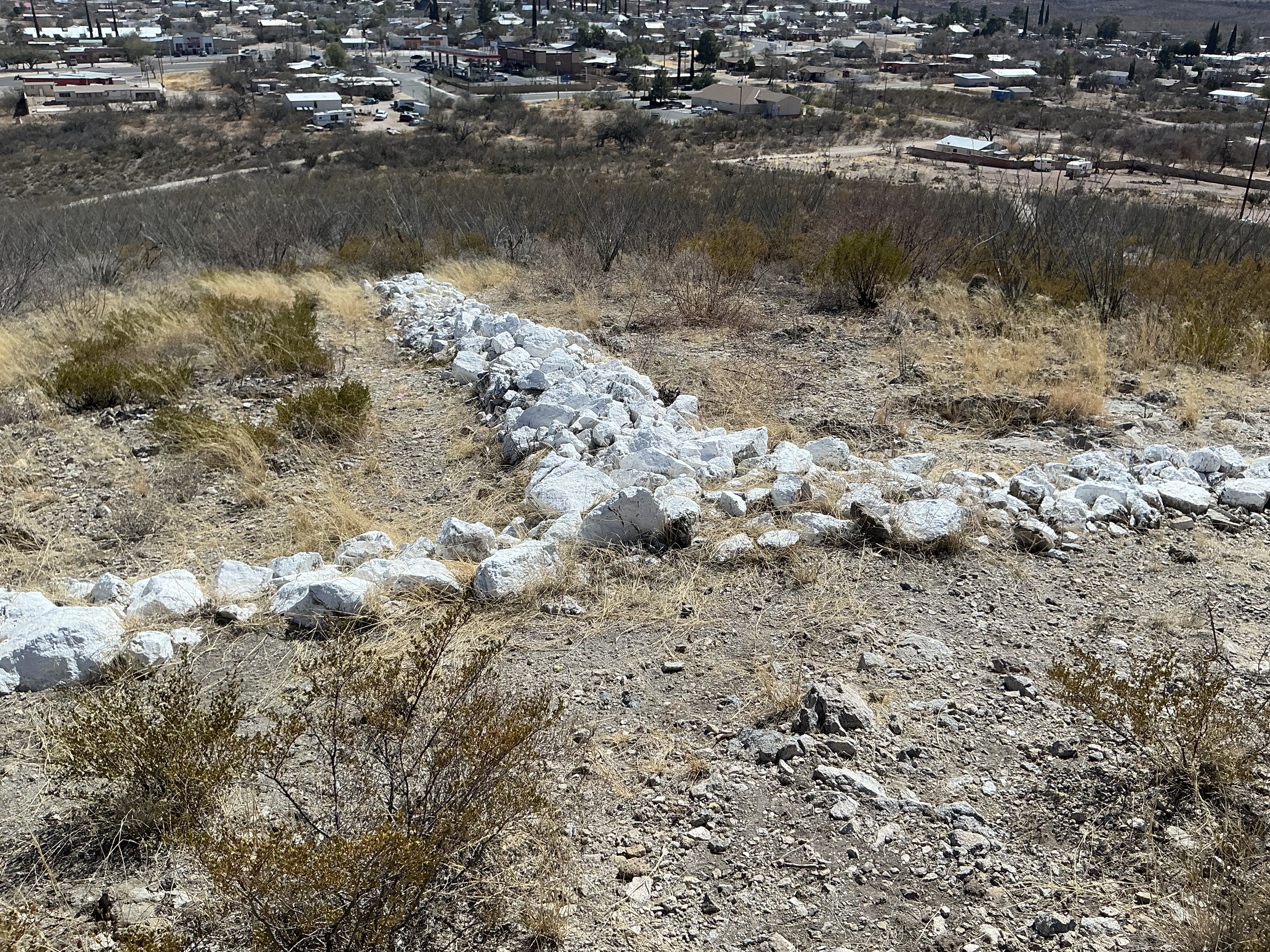
In 1884, Comstock moved on to Texas, but returned to Tombstone on June 28 of the following year, telling friends that throughout his extensive travels, no place suited him better. Two years later, the Tombstone City Water Works installed a large water tank atop Comstock Hill and hired men to attach a roof to the tank. The remnants of the foundation for the tank remain as bits of a stone circle today, appearing similar to a small amphitheater. From that flat circle emerge trails in several directions, with an open mine shaft featuring a beehive next to one and a shallow (filled-in) shaft by another. Use caution; the wire fence around the deeper shaft has been opened, and it would be too easy for a dog or child to slip through. The shallow, filled-in shaft has its own hazards: There is a beehive there at present (common to caves, mines, and cliff sides in this region). Don't bug the bees!
 |
| The remnants of the footing for the water tank atop Comstock Hill, featuring yours truly. |
In November, 1890, the Tombstone Prospector reported that during the late 1880s, one local man, whom they said was named "Cock," operated a chicken farm at the base of Comstock Hill. Cock left Tombstone for two years to fulfill his obligation to society via a two-year sentence at Yuma Territorial Prison, returning after release. Unfortunately for the legacy of appropriate names in poultry-raising history, I couldn't find any mention of "Cock" in the inmate roster of the historic prison, although I found a George Cook who lived in Tombstone and a corresponding George Cook who served time at the Yuma penitentiary. Alas, the chicken-farming "Cock" was too good to be true; it was apparently a typesetter's error. The George Cook incarcerated in Yuma was inmate #690 and did, indeed, get released on November 9, 1890, fitting with the Prospector's timeline; however, he served but one year for aggravated assault.
 |
| The Trail up Comstock Hill |
Today, Comstock Hill remains largely undeveloped, with a couple of structures on one slope and a motel at its base. The white-washed "T" is maintained and the trails are tidy.
 |
| Part of the "T" on T-Mountain |
 |
| One of the old mines. The fence is down nearest the trail - caution! |
 |
| The "T" on T Mountain, with Tombstone in the background. |
 |
| The view toward the Dragoons, with a blurry Sheep Head Mountain in sight. The haze is from our constant blowing dust, and not from smog. You can pick out many of Tombstone's and surrounding area landmarks from the top of Comstock Hill. Look for the 1881 County Courthouse in the center of Tombstone; the traces of the old Doling Racetrack (where Wyatt Earp once judged horse races!) to the southwest; and old railroad bridges to the west, where ore and minerals were once carried from the mines. |
 |
| Tombstone Cemetery (not Boot Hill) as seen from Comstock Hill (T-Mountain). The Tombstone Hills and Huachuca Mountains are in the background. Many of Tombstone's pioneers, including Molly Fly, are buried in this cemetery. |
 |
| The trail on the southwest side, with the Tombstone Town Cemetery in the background and an arch of ocotillo branches in the front. |
 |
| The Dragoons in the background with Tombstone High School in the fore. |


 The T on T Mountain as seen from the base. |
At right: The Whetstones to the west, as viewed from the top of T Mountain. At right: Tombstone Monument Ranch in the far left background, with a barely-discernible Schieffelin Monument to its right. |
No comments:
Post a Comment